
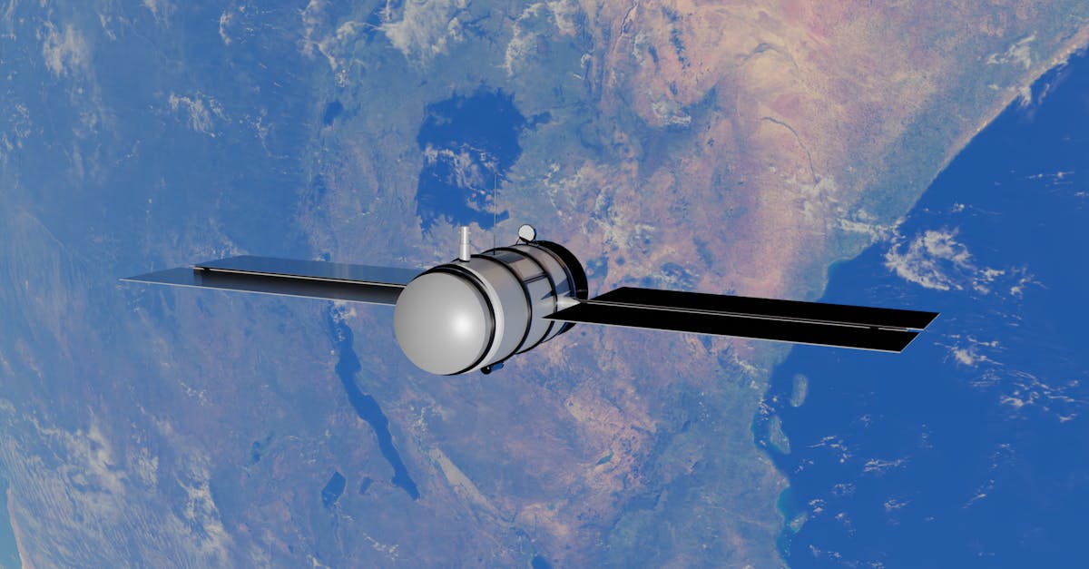
According to NASA, the Sentinel-6B satellite has successfully entered orbit around Earth, as depicted in a newly released artist’s concept from the agency’s Jet Propulsion Laboratory. The satellite, part of the international Sentinel-6 mission series, is designed to become the reference satellite for other missions studying sea surface height — a critical metric for tracking climate change and sea-level rise.
NASA’s Photojournal entry, dated November 16, 2026, includes the image (PIA26803) showing the spacecraft in orbit, along with downloadable versions in JPEG format. The agency describes Sentinel-6B as a key asset for oceanography, providing precise measurements that help scientists monitor global sea levels, ocean currents, and climate patterns.
For university students studying Earth science, oceanography, or climate change, Sentinel-6B’s data will be directly relevant to research and coursework. The satellite’s role as a reference point means its measurements will calibrate and validate data from other space-based instruments, ensuring consistency in long-term climate records. This is particularly important for students and researchers who rely on accurate sea-level data for studies on coastal erosion, storm surge modeling, and the impacts of global warming.
The Sentinel-6 mission is a collaboration between NASA, the European Space Agency (ESA), the European Organisation for the Exploitation of Meteorological Satellites (EUMETSAT), and other partners. Sentinel-6B follows its predecessor, Sentinel-6 Michael Freilich, which launched in 2020. Together, they extend a decades-long record of sea surface height measurements that began with the TOPEX/Poseidon mission in 1992.
NASA’s announcement highlights the satellite’s advanced radar altimeter, which measures the distance from the satellite to the ocean surface with centimeter-scale precision. This technology allows scientists to detect subtle changes in sea level, which is rising at an accelerating rate due to melting ice sheets and thermal expansion of seawater.
For students considering careers in space science, climate research, or engineering, Sentinel-6B represents a real-world example of how satellite technology is applied to pressing environmental challenges. The mission also offers opportunities for internships and research collaborations through NASA’s student programs, such as the Space Grant project and the Moon Base Challenge, which were also featured on the agency’s website.
NASA’s release did not specify the exact launch date or orbital parameters for Sentinel-6B, but the satellite’s operational status confirms it is now collecting data. The agency plans to release further details about the mission’s early performance and data availability in the coming months.
As climate change continues to reshape coastlines and affect communities worldwide, the data from Sentinel-6B will be essential for informing policy decisions and adaptation strategies. For students, this mission underscores the importance of sustained investment in Earth observation and the role of international cooperation in addressing global challenges.